West Mauritius stretches from the long sandy shore at Flic en Flac to the rocky promontory of Le Morne, with Tamarin bay, the Black River highlands and Chamarel’s volcanic formations between. The region mixes beaches, mountains, rivers and lagoons, offering snorkeling, surfing, hiking and cultural landscapes tied to the island’s past.
Where is West Mauritius
West Mauritius occupies the island’s western flank. The coastline runs from the wide public beach at Flic en Flac down past Tamarin bay, then sweeps toward the Black River area and the hills that lead to Chamarel and Le Morne. The landscape moves quickly from flat lagoon shores to steep, forested slopes.
The area’s contrasts are visible at short distance. A visitor can stand on a beach and see, inland, ridges and valleys carved in volcanic rock. Rivers and streams descend from the highlands into the western plains. The result is a compact region where varied environments sit side by side.
Access to the west is done from main island roads that approach the coast and then climb toward the parklands and the mountain peninsula. Public viewpoints and roadside pullouts give frequent vistas over lagoon waters and inland forest. The mix of coastal and upland terrain defines the region’s attractions.
Beaches: Flic en Flac and Tamarin
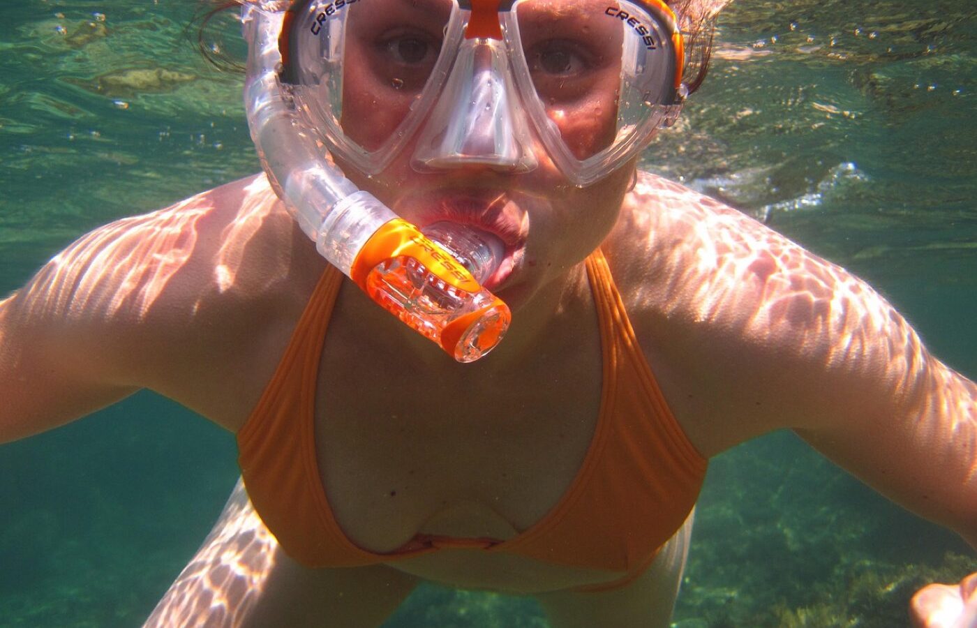
Flic en Flac is known for a long public beach of fine sand that faces a shallow lagoon. The calm waters close to shore favor snorkeling along reef edges. The beach itself provides open space for strolls and sunset watching, with a broad horizon over the lagoon waters.
Tamarin presents a different coastal scene. Its bay is frequented by marine wildlife and opens to deeper water where waves form. The bay draws people interested in observing animals at sea and others who pursue wave riding farther offshore. The coastline near Tamarin blends rocky points and sandy pockets.
Both coastal spots act as launching points for water activities. Snorkeling along reef edges at Flic en Flac benefits from the clear shallows. At Tamarin, the bay and adjacent ocean offer opportunities for watching sea life and for wave-based sports. Beach conditions can vary with tide and wind, so observers should read local conditions before entering the water.
Practical beach tips
Observe the reef line and shallow reefs when entering the water. Reef formations create sheltered zones and areas with currents. Staying within sheltered lagoon waters reduces exposure to open-ocean swell. Sandbanks and reef channels can alter wave action along the shore.
Sun protection matters on open beaches. Shade is often scarce along long stretches of sand. Carry sun protection and fresh water when planning extended time on the shore. Respect local signs and any restricted areas near sensitive reef habitats.
Black River Gorges National Park
The Black River Gorges National Park covers much of the south-western highlands. Its terrain is rugged. Steep ridges and deep valleys host primary stands of native forest. Trails cross ridgelines and descend into river gorges carved in volcanic rock.
Hikers find a range of paths through native woodland and across exposed ridges. The forest supports endemic plants and birdlife adapted to the island’s tropical climate. Vegetation changes with elevation, from lowland trees near the park edges to denser canopy in sheltered valleys.
Watercourses that feed the coastal plains flow from the park’s slopes. Streams and small rivers cut short, narrow gorges and feed waterfalls in protected hollows. These water features punctuate the highland landscape and form focal points along walking routes.
On the trails
Trail surfaces vary from formed paths to rough foottracks. Ridge walking can expose hikers to wind and sun, while valley routes remain cooler and more humid. Plan routes according to fitness and daylight available. Some popular paths provide clear viewpoints over the west coast and the coastal lagoon.
Wildlife observation concentrates on forest birds and small mammals that use the understorey. Listening for bird calls often reveals species before they are seen. Respect marked paths to avoid trampling fragile plant communities and to reduce disturbance to wildlife.
Chamarel: coloured earth and waterfall
Chamarel sits inland among volcanic hills. The site of the coloured earth presents bands of differently hued sand and clay formed by volcanic activity. The layered soils create a compact area of striking tones. Nearby, a waterfall spills down a volcanic slope into a narrow pool and gorge.
The combination of the coloured earth and the waterfall gives Chamarel a distinctive geological character. The landscape shows how past volcanic processes shaped present slopes and soil distribution. Vegetation around the clefts and gullies contrasts with the bare, exposed soils of the coloured formations.
Viewing areas around the coloured earth allow visitors to observe the layering and the patterning of tones without walking across sensitive ground. The waterfall sits within a wooded valley. Sound and spray from the falling water create a cool, humid microclimate that supports lush plant growth close to the cascade.
Le Morne: mountain, history and lagoon sports
Le Morne Brabant rises from a peninsula at the island’s south-west tip. The mountain forms a dramatic backdrop to the shallow lagoon that surrounds the peninsula. Its cliffs and steep slopes have long framed the coastline and the lagoon waters.
The mountain is closely tied to the island’s social history. Its slopes and caves served as a refuge in earlier times. The landscape around Le Morne carries commemorative meaning and stands as a marked cultural landscape. Views from the peninsula combine ocean, reef and cliff face in a single panorama.
Le Morne’s lagoon opens to winds that sweep across the ocean. The shallow, wind-exposed waters around the peninsula form areas used for kite- and sail-based sports. The lagoon’s flat water and wind corridors attract riders who seek steady wind conditions over long, open water.
Landscape and etiquette
The peninsula’s coastline supports both exposed rock and fringing coral formations. Respect for coastal and underwater habitats helps maintain water clarity and reef health. When visiting culturally significant places near the mountain, observe any local signs and refrain from actions that would disturb memorial sites.
Planning your time in the west
Decide the balance between coastal and upland activities first. Short visits can focus on a single beach and a nearby viewpoint. Longer stays allow combining beach time with a route into the highlands, a visit to Chamarel’s geological formations and a stop at Le Morne’s coastline.
Factor in travel time across the region. Moving inland from the shore leads to narrower, winding roads that climb toward the parklands and Chamarel. Coastal routes run parallel to the lagoon and provide access to beaches and bays. Allow daylight for upland trails and viewpoints.
Pack for a range of conditions. Beachwear and reef shoes suit lagoon hours. For upland walks, include a light rain layer and sturdy footwear for uneven paths. Carry drinking water and a small first-aid kit when heading into forested trails. Sun protection is essential along open beaches and ridge walks.
Choosing activities by profile
If you prefer easy coastal relaxation, concentrate on the sheltered lagoon and the long sandy shore near Flic en Flac. For wildlife observation and deeper-water encounters, allocate time at Tamarin bay and the adjacent ocean approaches. For hiking and forest scenery, dedicate at least part of a day to the Black River highlands and Chamarel’s surroundings. For wind sports and a dramatic coastal landscape, plan a visit to Le Morne peninsula.
When assembling an itinerary, sequence activities to reduce back-and-forth travel. Combine adjacent coastal stops in a single day, and group upland visits together. Reserve early morning or late afternoon for heat-sensitive outings on beaches and ridge paths to take advantage of softer light and cooler temperatures.
Final practical note
Check local signage and posted guidance at natural sites. Observe path closures and protected zones. Respect the land and the sea so that the west’s mix of beaches, gorges and cultural landscapes remains welcoming for other visitors.